Uncover Mexico's geological wonders with GeoInfoMex, your comprehensive geological information resource. This app puts the power of geoscience at your fingertips, offering a wealth of data and insights into Mexico's diverse landscape.
GeoInfoMex: Your Key to Mexico's Geological Secrets
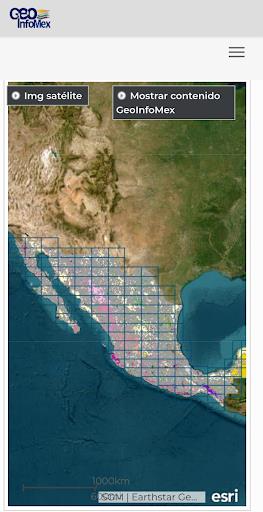
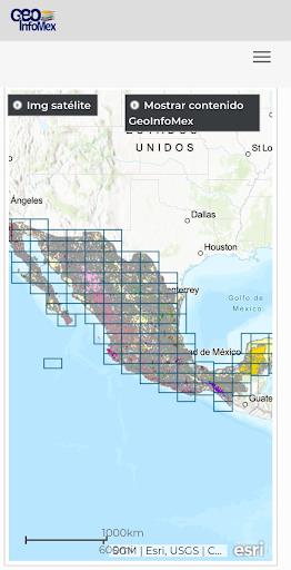
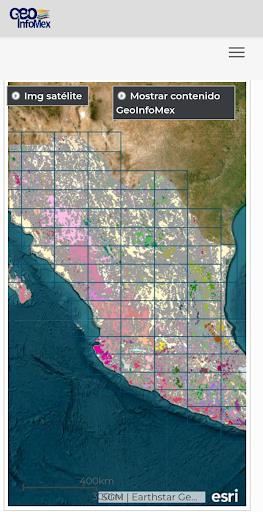
Explore a vast collection of geoscientific, geological-mining, and geophysical data, including detailed maps and information on mining operations, geophysical surveys, and geochemical analyses. Discover the locations and characteristics of mines, beneficiation plants, and significant rock formations across the country.
Understand land ownership patterns with data from the National Agrarian Registry, providing details on agrarian nuclei (ejidos). Plan your adventures responsibly by accessing information on protected natural areas managed by CONANP, supporting eco-tourism and conservation efforts.
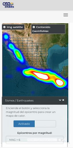
Stay informed about seismic activity with real-time earthquake updates from trusted sources like SSN and IG-UNAM. Access crucial hydrological data from Cencas, enhancing your understanding of Mexico's water resources and management.
GeoInfoMex Features:
- Comprehensive Geological Data: Access a wide range of geoscientific information on Mexico.
- Mining & Rock Information: Explore details on mines, processing plants, and notable rock formations.
- Land Ownership Details: View information on land ownership from the National Agrarian Registry.
- Protected Areas Information: Discover Mexico's protected natural areas managed by CONANP.
- Real-time Earthquake Monitoring: Stay informed with seismic data from SSN and IG-UNAM.
- Hydrological Data Access: Explore hydrological reports and data from Cencas.
Download GeoInfoMex Today!
GeoInfoMex is an indispensable tool for geoscientists, researchers, environmentalists, and anyone fascinated by Mexico's geological richness. Download now and embark on a geological exploration unlike any other!